Voyage planner
Plan the passage. Let the weather weigh in.
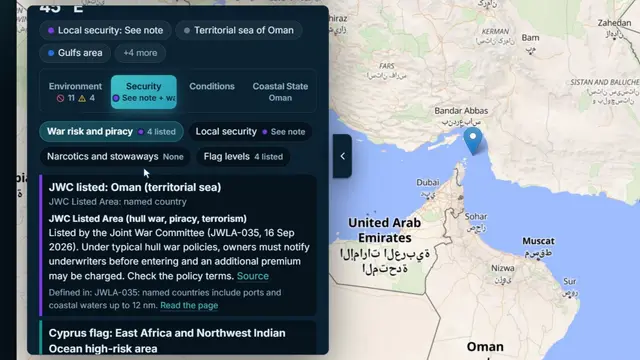
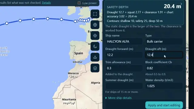
Plan a route between two ports and see the distance, the time and the fuel. Open it in the Voyage Workstation, enter the ship's draught and NautiQA works out the safety depth, then checks the route against land, depth, tides and areas and numbers its findings on the map. Optimise it against the forecast: ocean current, wind, waves, tropical cyclones and ice, keeping to water the ship can use, and compare the alternatives (least fuel, safest) by fuel, time, wave height and risk. A planning aid, not a navigational decision.
- Distance, time and fuel
- Safety depth and route check
- Weather routing
- Wind, waves and currents on the map
- The globe



 Illustrative